

Bare Ground and Full Feature Classification
We extract bare earth using tscan and across section in a large scale while manually as well as automatically. Some example after editing is given here. We have also given a view of 5m DTM surface after classification thus processed in a small scale, presenting the quality of our bare earth.
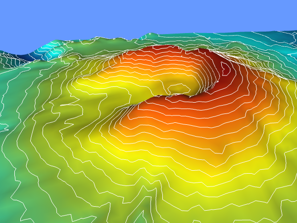
From same bare earth we extracted contours at 1m or 0.5m where terrain is hilly or plains and a part of the area of the project with 1m contours thus extracted is as given here on a larger scale presenting quality in bare earth and in contours.
Drapping Vector data LiDAR
We extract the vector line manually as per client’s required accuracy (both horizontal & vertical) using Tscan intensity raster images or else provide orthophotos. Below mentioned presentation view is our latest one where we did extract the road center line’s from bare earth.
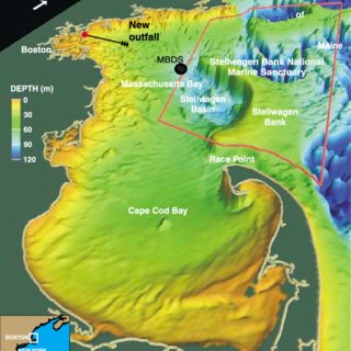
To outsource LiDAR mapping services